Clayton Smith
GeoIntelligence | Land Strategy | AI
Intelligence for Land, Resources and Infrastructure.
C5 Projects Website Land-Focused Media GeoIntel for Political Campaigns AI Without the Hype Intelligence Repository Subscribe to Field Notes Newsletter


About Clayton Smith
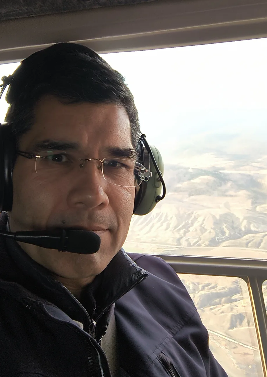
Strategic technologist. Systems builder. Relentlessly practical.
Based in Edmonton, Alberta, Clayton Smith is a Civil Technologist and strategist working across land, resources, infrastructure, technology and public policy.
His background combines technical field experience with political and municipal experience, giving him a practical understanding of how policy is developed, implemented and experienced on the ground.
His work brings together GeoIntelligence, GIS, communications, media and practical AI to help organizations understand complex projects, identify what matters, and make better decisions.
Grounded in field experience
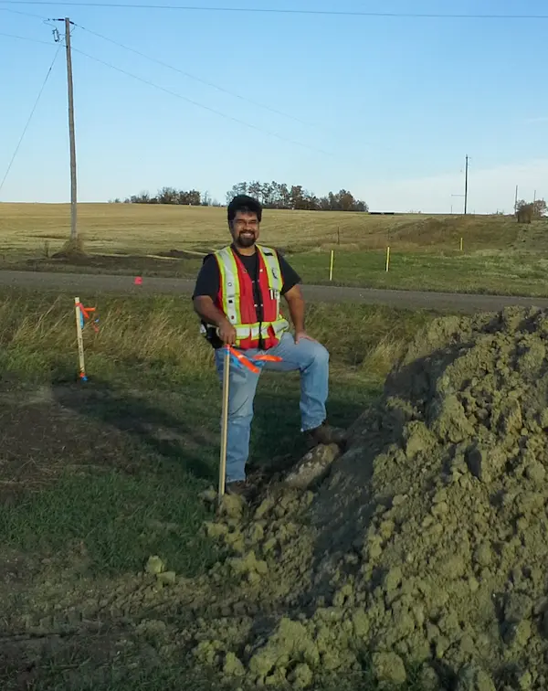
Years spent working across surveying, geomatics, construction and infrastructure shaped a practical, systems-oriented approach to technical work.
The objective has never been technology for its own sake. It is to understand the ground conditions, access, infrastructure, constraints and opportunities that determine whether a project works.
Turning information into intelligence
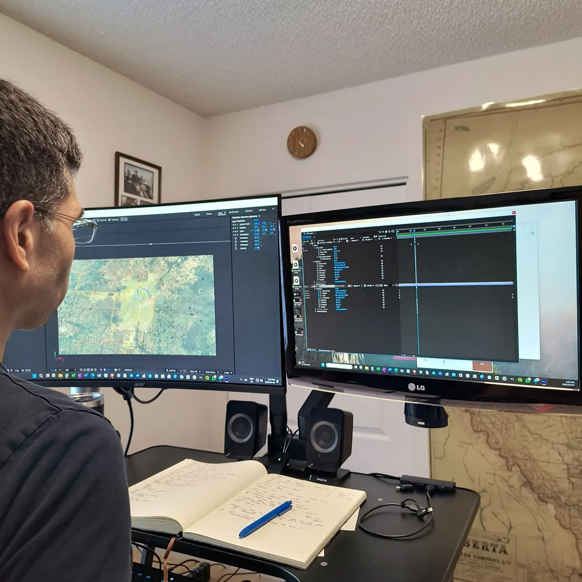
Today, that field perspective is combined with GIS, mapping, imagery, public datasets, automation and AI to bring fragmented information together and make it useful.
Clayton builds practical GeoIntelligence tools that help people explore land, resource and infrastructure information more clearly, connect field observations with spatial data, and turn complex technical information into decision-ready intelligence.
Making projects understandable
For high-value land and complex projects, information alone is often not enough. Clayton also produces visual media, particularly video, to help owners, investors, buyers and stakeholders understand the property, its setting, access, infrastructure and potential.
That work ranges from project and property videos to aerial imagery and visual storytelling designed to communicate technical and commercial value clearly.
Engaged with the resource and investment community
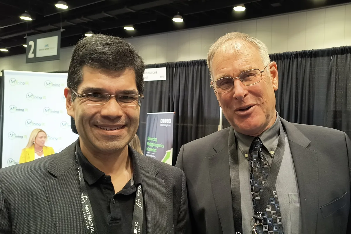
Clayton maintains an active interest in the economic, investment and policy forces shaping Western Canada's resource industries.
That broader perspective informs how he approaches land, infrastructure and resource projects, particularly where technical information must be understood by executives, investors, communities and other decision-makers.
Public service and policy experience
Clayton entered public service early, becoming one of Canada's youngest elected officials at 18 and later serving as mayor at 19.
That experience provided a first-hand view of policy development, municipal operations, infrastructure planning, public communication and the challenges of turning policy into workable outcomes.
He later moved into surveying, mapping and construction, supported by technical education in civil engineering technology, geomatics and computer systems.
Current focus
Today, Clayton works with organizations involved in land, resources, infrastructure, development and public affairs.
His focus is increasingly on GeoIntelligence systems and visual communication that combine spatial data, field information, imagery, infrastructure, tenure, geology, media and AI into tools and narratives people can explore, understand and act on.
He also publishes Field Notes, documenting tools, tactics, trades and lessons from the field.